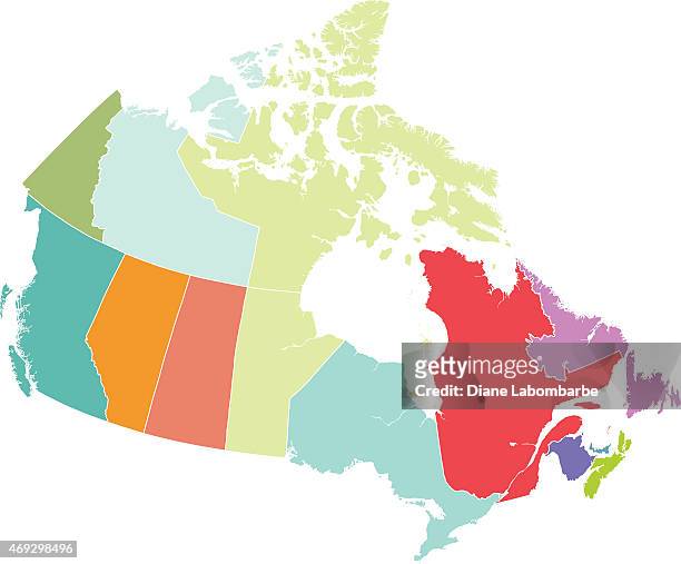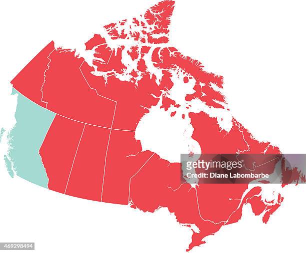
671 Canadian Province Map Stock Photos & High-Res Pictures
Browse 671 canadian province map photos and images available, or start a new search to explore more photos and images.


NEXT
Browse 671 canadian province map photos and images available, or start a new search to explore more photos and images.

