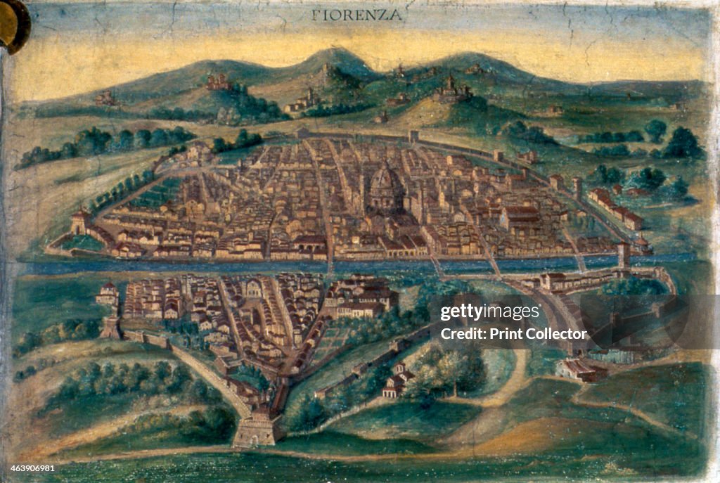
Map of Florence, 15th century. Artist: Anon
Map of Florence, 15th century. Pictorial Italian map showing the layout of the city. From the Gallery of Maps, Vatican Museum, Rome. (Photo by Art Media/Print Collector/Getty Images)

Get this image in a variety of framing options at Photos.com.
PURCHASE A LICENSE
How can I use this image?
$375.00
CAD
Getty ImagesMap of Florence, 15th century. Artist: Anon, News Photo Map of Florence, 15th century. Artist: Anon Get premium, high resolution news photos at Getty ImagesProduct #:463906981
 Map of Florence, 15th century. Artist: Anon Get premium, high resolution news photos at Getty ImagesProduct #:463906981
$575$175
Getty Images
In stockDETAILS
Restrictions:
Contact your local office for all commercial or promotional uses.
Credit:
Editorial #:
463906981
Collection:
Hulton Fine Art Collection
Date created:
January 01, 1800
Upload date:
License type:
Release info:
Not released. More information
Source:
Hulton Fine Art Collection
Barcode:
510000485
Object name:
1153780
Max file size:
5103 x 3426 px (17.01 x 11.42 in) - 300 dpi - 7 MB
- Medieval,
- Florence - Italy,
- Map,
- City,
- Italy,
- Town,
- Circa 15th Century,
- History,
- Renaissance,
- Archival,
- Arts Culture and Entertainment,
- Cathedral,
- Christianity,
- Color Image,
- Colors,
- Concepts,
- Concepts & Topics,
- Environment,
- High Angle View,
- Hill,
- Horizontal,
- Illustration,
- Physical Geography,
- Position,
- Religion,
- River,
- Tuscany,
- UK,