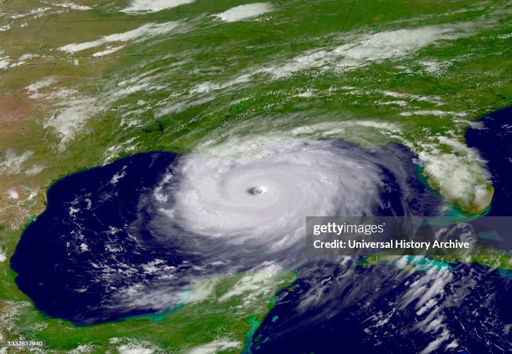
Satellite image of Hurricane Katrina; 2005
Hurricane Katrina caused severe destruction along the Gulf coast from central Florida to Texas, much of it due to the storm surge and levee failure. The storm is the third most intense United States landfalling tropical cyclone, at least 1,245 people died in the hurricane and subsequent floods, making it the deadliest United States hurricane since the 1928 Okeechobee hurricane. Total property damage was estimated at $108 billion. (Photo by: Universal History Archive/Universal Images Group via Getty Images)

PURCHASE A LICENSE
How can I use this image?
$375.00
CAD
Getty ImagesSatellite image of Hurricane Katrina; 2005, News Photo Satellite image of Hurricane Katrina; 2005 Get premium, high resolution news photos at Getty ImagesProduct #:1337837940
 Satellite image of Hurricane Katrina; 2005 Get premium, high resolution news photos at Getty ImagesProduct #:1337837940
$575$175
Getty Images
In stockPlease note: images depicting historical events may contain themes, or have descriptions, that do not reflect current understanding. They are provided in a historical context. Learn more.
DETAILS
Restrictions:
Contact your local office for all commercial or promotional uses.
Credit:
Editorial #:
1337837940
Collection:
Universal Images Group
Date created:
May 10, 2021
Upload date:
License type:
Release info:
Not released. More information
Source:
Universal Images Group Editorial
Object name:
917_08_wha_116_0491
Max file size:
5513 x 3804 px (18.38 x 12.68 in) - 300 dpi - 7 MB