High detailed Botswana Blue map with Regions and national borders - stock illustration
High detailed Botswana Blue map with Regions and national borders

Get this image in a variety of framing options at Photos.com.
PURCHASE A LICENSE
All Royalty-Free licenses include global use rights, comprehensive protection, simple pricing with volume discounts available
$375.00
CAD
Getty ImagesHigh Detailed Botswana Blue Map With Regions And National Borders High-Res Vector Graphic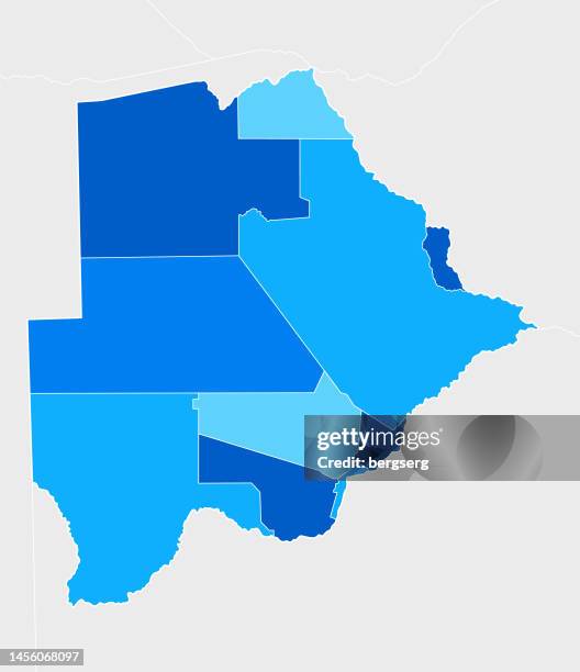 Download premium, authentic High detailed Botswana Blue map with Regions and national borders stock illustrations from Getty Images. Explore similar high-resolution stock illustrations in our expansive visual catalogue.Product #:1456068097
Download premium, authentic High detailed Botswana Blue map with Regions and national borders stock illustrations from Getty Images. Explore similar high-resolution stock illustrations in our expansive visual catalogue.Product #:1456068097$375$50
Getty Images
In stockDETAILS
Credit:
Creative #:
1456068097
License type:
Collection:
DigitalVision Vectors
Max file size:
2900 x 3364 px (9.67 x 11.21 in) - 300 dpi - 4 MB
Upload date:
Location:
United States
Release info:
Property released
Categories:
- Botswana,
- Map,
- Africa,
- Angola,
- Blue,
- Business,
- Cartography,
- Computer Graphic,
- Country - Geographic Area,
- Cut Out,
- Design,
- Direction,
- Education,
- Gaborone,
- Geographical Border,
- Ghanzi,
- Government,
- Icon Symbol,
- Illustration,
- Image-based Social Media,
- Industry,
- Infographic,
- Land,
- Namibia,
- No People,
- Outline,
- Physical Geography,
- Politics and Government,
- Pretoria,
- Savannah,
- Sea,
- Sign,
- Social Media,
- South Africa,
- Symbol,
- Togo,
- Topography,
- Vector,
- Vertical,
- World Map,
- Zambia,
- Zimbabwe,