Different maps of United Kingdom with different resolutions - stock illustration
Set of 5 dotted maps of the United Kingdom in 5 different resolutions: from very low to ultra high, and outline map.

Get this image in a variety of framing options at Photos.com.
PURCHASE A LICENSE
All Royalty-Free licenses include global use rights, comprehensive protection, simple pricing with volume discounts available
$375.00
CAD
Getty ImagesDifferent Maps Of United Kingdom With Different Resolutions High-Res Vector Graphic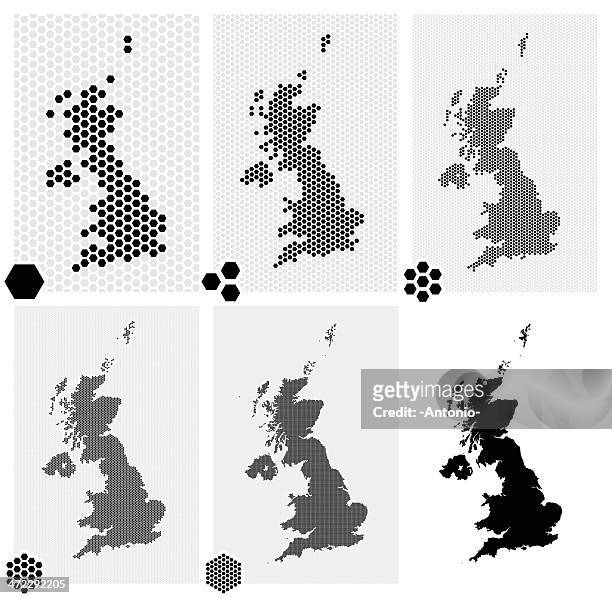 Download premium, authentic Different maps of United Kingdom with different resolutions stock illustrations from Getty Images. Explore similar high-resolution stock illustrations in our expansive visual catalogue.Product #:472292205
Download premium, authentic Different maps of United Kingdom with different resolutions stock illustrations from Getty Images. Explore similar high-resolution stock illustrations in our expansive visual catalogue.Product #:472292205$375$50
Getty Images
In stockDETAILS
Credit:
Creative #:
472292205
License type:
Collection:
DigitalVision Vectors
Max file size:
4173 x 4075 px (6.45 x 6.30 in) - 647 dpi - 19 MB
Upload date:
Release info:
No release required
Categories:
- UK,
- Map,
- Hexagon,
- Northern Ireland,
- Scotland,
- Spotted,
- Wales,
- Global Positioning System,
- Illustration,
- Polka Dot,
- Abstract,
- Cartography,
- Concepts,
- Concepts & Topics,
- Data,
- Design,
- Design Element,
- Digitally Generated Image,
- Dividing,
- Elegance,
- England,
- Futuristic,
- Global,
- Global Business,
- Global Communications,
- Grid Pattern,
- Half Tone,
- Ideas,
- In Silhouette,
- Internet,
- Mosaic,
- Outline,
- Part Of,
- Pattern,
- Pixelated,
- Separation,
- Sharing,
- Technology,
- Unity,
- Vector,
- Virtual Reality,